By Tony Kukulich
Beaufort County Sheriff P.J. Tanner repeated one message during a Thursday afternoon press conference; residents should stay home and off the streets Friday.
He urged residents to finish their errands and storm preparation Thursday.
“By nightfall we expect rain,” Tanner said. “We expect more wind. Tropical storm force winds could be early evening. We kind of need to get those errands run as soon as we can. Let’s please refrain from driving on any of our roads Friday and Friday evening.”
Speaking at the Beaufort County Sheriff’s Office, Tanner was joined by the mayors of Beaufort, Bluffton and Port Royal as well as the superintendent of the Beaufort County School District.
“If we can reduce the amount of traffic throughout the traffic, it will be a whole lot easier for us to do our job,” Tanner added. “It’s going to be a lot safer for you.”
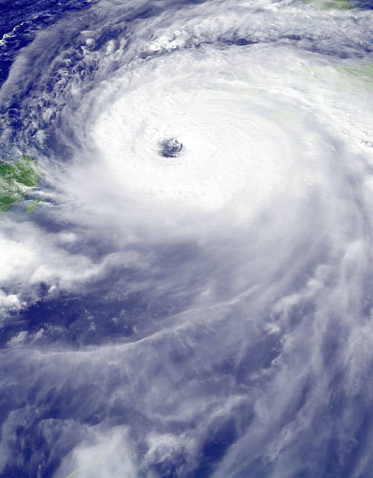
The most current forecast reported by the South Carolina Department of Natural Resources (DNR) Thursday afternoon indicates that Hurricane Ian will come ashore near Folly Beach in Charleston County around noon Friday. Hurricane warnings and storm surge warnings remain in effect for the entire South Carolina coast.
“If you are out on the streets throughout this event, and you get in trouble, you are putting other folks’ lives at risk,” said City of Beaufort Mayor Stephen Murray. “You’re putting our first responders’ lives at risk unnecessarily. Please stay home. Please look out for one another.”
Heavy rain and high winds generated by the storm will be the principal challenges for Beaufort County residents. Gusty winds up to 50 mph will contribute to minor to moderate flooding during Thursday night’s high tide. By Friday, sustained winds could reach 75 mph with 90 mph gusts near midday. Winds will diminish into Friday evening, but strong gusts are still expected.
Tanner said that there has been some variability in the rainfall forecasts, but 4 to 6 inches of rain is likely, while some locations could receive as much as 12 inches. The combination of rain-saturated ground and high winds can bring down trees, causing damage to property and knocking out power.
“There’s a lot of water that we’re going to deal with,” Tanner said. “If we get the winds that we potentially could have, it’s going to hold the high tide from going out. It’s going to appear that it never went out. All of that water is going to come back in a lot quicker. We want people to be very, very aware that that potential is there.”
The county’s emergency operations center (EOC) is scheduled to be activated at 6 p.m. Thursday with a partial crew. The center is operating at Operating Conditions (OPCON) Two, meaning that an emergency or disaster is likely to impact the county. If conditions worsen, the county would move to OPCON One, its highest level, in which the EOC would be fully staffed and all emergency personnel would be activated. Police, fire and emergency medical service agencies have increased their staffing. That increase is expected to remain in place through the duration of the storm.
“Stay indoors if you again, if you can Friday and Friday evening. If we have flooding, which we expect, please don’t try to drive through flood waters. You can’t see what’s under those flood waters, and there may not be anything there.”


