
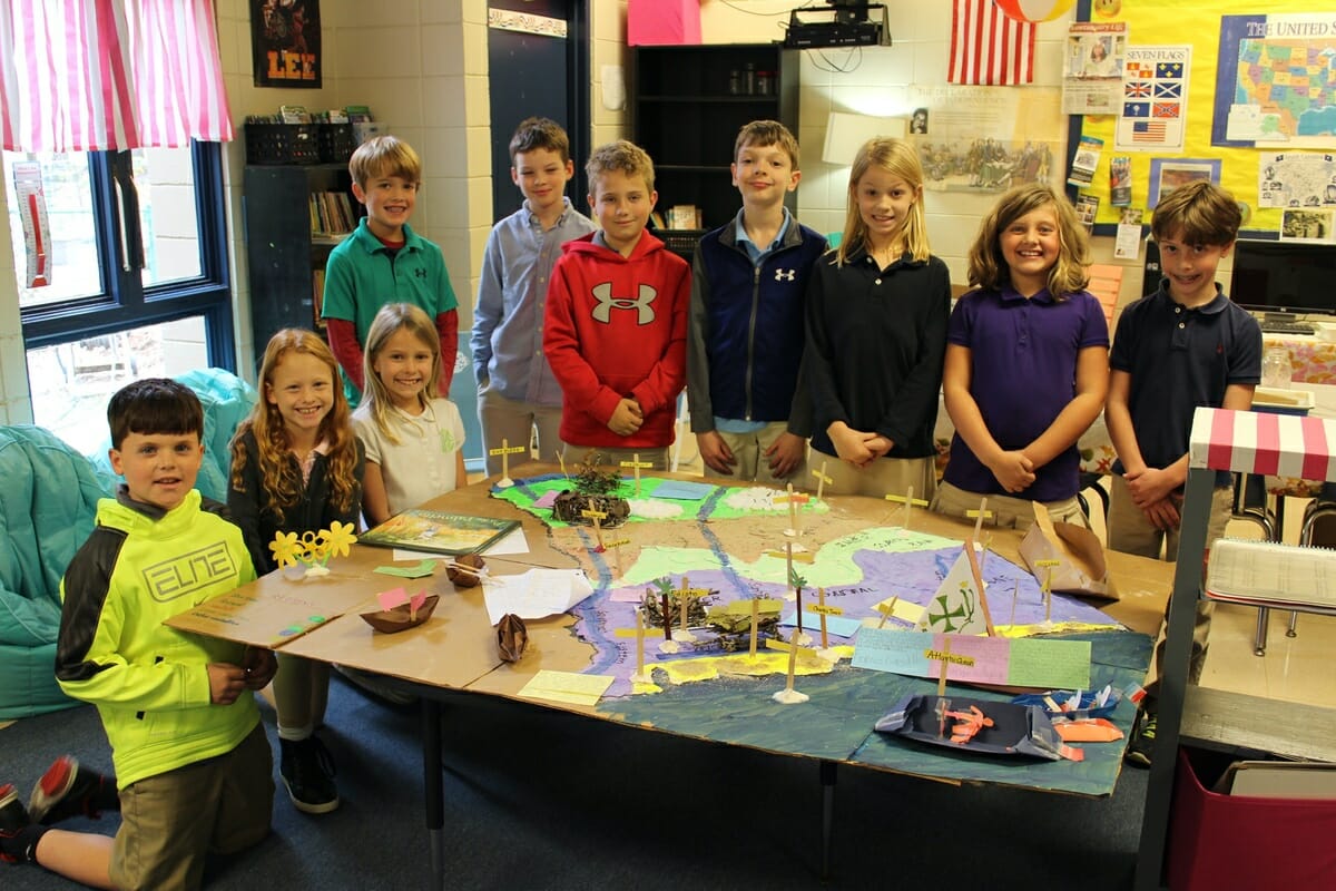
The Beaufort Academy third-grade social studies curriculum encompasses the study of South Carolina. Along with the South Carolina Studies Weekly newspaper, the class created a huge topographical map of the state. It included elements of science, reading, writing and research. This hands-on project has proven to be interactive and all- encompassing. After laying a salt dough base, the students painted and labeled the regions, added rivers, rice and cotton plantations, Indian habitats, the state bird, flower and tree as well as Spanish and English ships crossing the Atlantic Ocean.
BA students create topographical map of SC

Latest from Uncategorized

By Dr. Marcelo Hochman The 2026 calendar year marks the final year before the full effect

By Delayna Earley The Island News A Beaufort County woman injured during October’s mass shooting at


From staff reports The City of Beaufort has announced the selection of Eric Claussen as its