By Beekman Webb
Afternoon traffic in downtown Beaufort is just crazy these days. The Woods Bridge is the biggest bottleneck, but it’s not the only one. The stop light at Beaufort High School often creates an afternoon clog that puts traffic at a standstill all the way across the bridge, down Carteret Street and all the way to Charles Street.
The Lady’s Island business district is growing exponentially. When the new Whitehall business/residential development comes on line in a year or two, it will compound the traffic problems in downtown Beaufort. Our downtown wants and needs shoppers to survive, but many people avoid going downtown because of the awful traffic.
The McTeer Bridge takes a lot of the load already, but most of what it carries is coming from the South. Some people use the Parris Island Gateway loop from Burton to the McTeer Bridge, but many don’t, partly because it adds six more miles to their trip and in the afternoon, the right-turn bottleneck at Ribaut Road and Sea Island Parkway becomes hundreds of vehicles long.
What can be done? How can we get a growing number of people to Lady’s Island without clogging and eventually destroying our downtown business district?
For years there has been talk of a new bridge, one that lets people avoid the Woods Bridge, the Lady’s Island business district, downtown Beaufort and the long southern loop that carries the Parris Island traffic.
In 2008, Beaufort County commissioned Thomas and Hutton Engineering to do a Northern Bypass Feasibility Study. That study, published in 2011, examined four sites for a possible new bridge: Brickyard Point, Central Drive, Perryclear Drive and Bellamy’s Curve.
The study considered conflicts with many existing land uses for each prospective site including impacts upon commercial, residential and farm parcels, Federal properties, wetlands and floodplains, schools and churches. They considered noise potential and possible impacts upon birds, fish and animals. Many more possible conflicts were studied.
In the final analysis, the Bellamy’s Curve site was found to have only 20 percent of the negative impacts of the next lowest site. The cost of the Bellamy’s Curve bridge was considered to be less than 70 percent of the cost of the next lowest-cost site, yet Bellamy’s Curve was rejected out-of-hand by the County as a possible site.
Why? As we all know, the whole project was tabled and now, 10 years later, the traffic problem has multiplied.
I suggest that we seriously consider a bridge at Bellamy’s Curve. There are many advantages to the site:
U.S. 21 as a four-lane road goes almost right to the site.
There is plenty of room to rise to the required height on both sides of the river.
It would accommodate traffic from all of greater Beaufort and not just from the most Northern areas like all the other considered sites.
Traffic would be routed directly into the center of the most densely residential section of Lady’s Island where most of the people are going.
Only people who were actually going downtown would use Carteret Street.
The historic Woods Bridge could still remain in service and operation, but it would not carry a 10th of the cars it currently carries as most drivers would choose the more direct route.
Let’s get serious about this traffic problem.
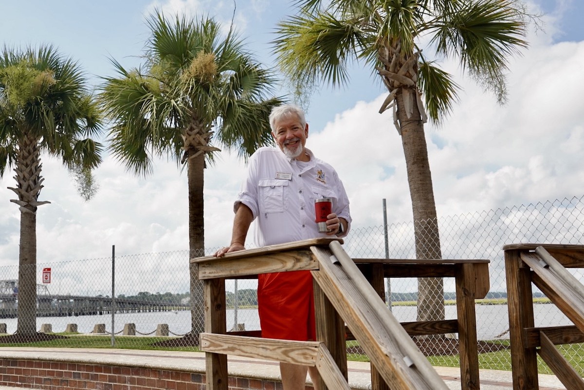
Beekman Webb is a semi-retired historic preservation contractor, a musician, a long-time board member of the Open Land Trust and a student of many subjects. He is a native of Beaufort.


