

By Tony Kukulich
As Hurricane Ian churned over the warm waters of the Gulf of Mexico Tuesday afternoon, the National Weather Service (NWS) issued a tropical storm watch and a storm surge watch for the southeast coast of South Carolina and the northeast coast of Georgia.
Late Tuesday night, the tropical storm watch was upgraded to a tropical storm warning.
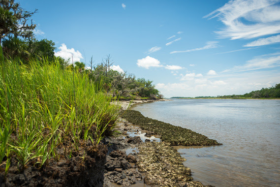
Beaufort County could see 4 to 8 inches of rain between Wednesday and Sunday spurred by the storm. The NWS said that life-threatening rip currents off the coast are likely along with large breaking waves measuring 5 to 8 feet tall.
“Coastal flooding and storm surge will be another significant impact from Ian,” said Frank Strait, severe weather liaison for the South Carolina Department of Natural Resources. “The gusty northeast winds from Thursday into Friday from Ian and the strong northerly winds will cause coastal flooding around high tide on Thursday and Friday along our coast.”
According to the National Hurricane Center (NHC), a storm surge watch means there is a possibility of life-threatening inundation, from rising water moving inland from the coastline, in the indicated locations during the next 48 hours. A tropical storm watch means that tropical storm conditions are possible within the watch area.
A tropical storm warning means that tropical storm conditions – sustained winds of 39 to 73 mph – are expected within 36 hours.
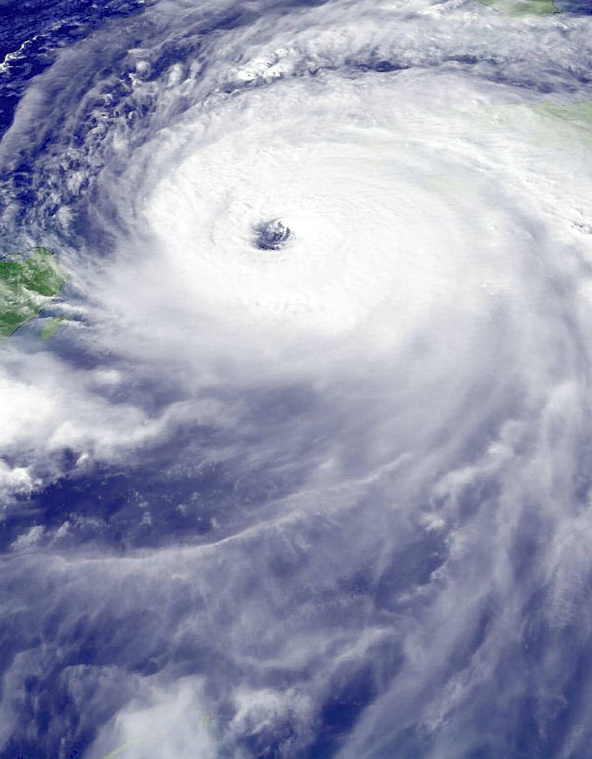
Ian made landfall in Cuba Tuesday morning as a Category 3 hurricane, and strengthened overnight to a Category 4 storm on the Saffir-Simpson Hurricane Wind Scale. Maximum sustained winds have been measured at 155 mph.
A bulletin issued by the NHC at 8 a.m. Wednesday said, “Ian is forecast to make landfall on the west coast of Florida as a catastrophic hurricane. Weakening is expected after landfall.”
As of press time, the path that Ian will take after it makes landfall in Florida is still uncertain. Once it makes landfall, the storm should weaken quickly. While Ian was initially forecast to remain over land, the revised forecasts have Ian moving east, which could put the storm back out at sea before it comes ashore again.
“This eastward shift increases the chances for Ian to pass over the Atlantic for a time before making a second landfall along the Georgia or South Carolina coast,” Strait said. “As it stands now, a portion of the storm will track over water, allowing Ian to maintain strength longer. The greater the percentage of the storm spends over the Atlantic, and the more time it ends up over the Atlantic, the stronger it might get before affecting South Carolina.”
Strait predicts that Ian will bring gusty winds to South Carolina Thursday and into Thursday night. Gusts could reach 40 mph and could be higher along the coast. As Ian moves north, the potential for heavy rainfall increases. Weather conditions could also be favorable for the development of tornadoes.
“Rain will begin along the coast early Friday and spread northward through the day, and this rain from the front will be heavy at times,” Strait said. “Then, rain directly from Ian will arrive along our coast later Friday night, depending on how fast Ian moves. If bands of storms from Ian train over areas for multiple hours, rainfall would be excessive.”
The threat of bad weather has already begun to impact events scheduled for this weekend. The St. Peters’ Catholic Church Bazaar, a prominent yearly event, has been rescheduled for Oct. 8. Also, high school football games scheduled for Friday night have been moved to Wednesday or Thursday night. Check with the schools for the exact time and date.
For more information on preparing for a hurricane, visit hurricane.sc or the South Carolina Hurricane Guide at https://bit.ly/TIN_SCHurricaneGuide.