
Indications are new mystery developer’s plans a step in right direction
By Scott Graber
The Island News
In 2004, 20 years ago, then-Governor Mark Sanford called for the selling of the Port of Port Royal. In that year the General Assembly passed legislation ordering the Ports Authority to sell its Port Royal Terminal and allow the Town to plan the commercial and residential future of this site.
In 2005, the Town hired a design firm out of Baltimore — Design Collective — to reimagine and redesign the Port’s waterfront acreage.
Matt D’Amico, a principal in that firm, said at the time, “People wanted to make sure that the (Town) grid extended to the water, so there is a physical and visual connection to the waterfront.”
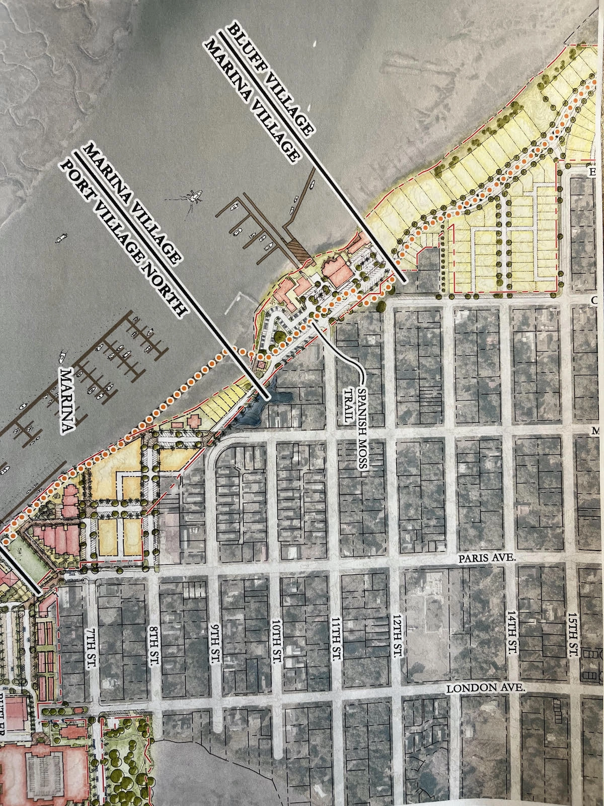
Over the past 20 years, the notion of “physical and visual connection” with Battery Creek has manifested itself in three planned improvements — a waterfront pedestrian promenade, the Spanish Moss Bike Trail and a vehicular access road that would extend into the site from Ribaut Road.
In the latter part of June 2024, Safe Harbor revealed to the Town of Port Royal that it hoped to enter into a sales contract with reputable, Beaufort-based developer who would develop the “Bluff Neighborhood” and the “Ribaut Village” properties.
The ‘Bluff Neighborhood’ and ‘Ribaut Village’
The “Bluff Neighborhood” and the “Ribaut Village” properties are wooded, heavily vegetated parcels generally located behind a high bluff just South of Ribaut Road as that road descends from the Russell Bell Bridge and passes through Port Royal.
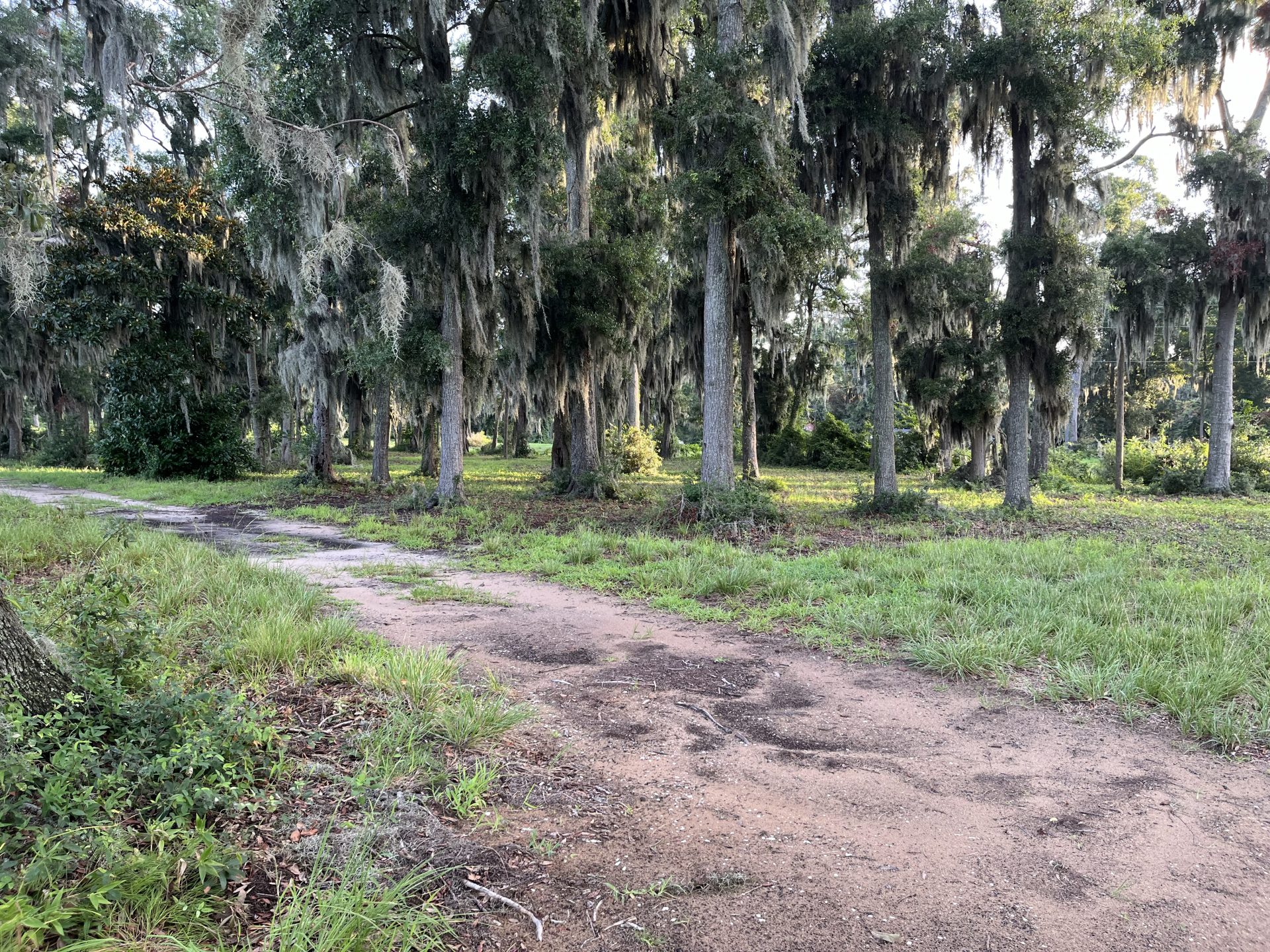
These two parcels have always been deemed more suitable for residential development; for homes, rather than industrial activities, or commercial structures supportive of marina activities.
The sales price is unknown, however, a single appraiser was apparently agreed upon by Safe Harbor and the unknown buyer according to Town of Port Royal Mayor Kevin Phillips. According to Phillips, the unknown buyer-developer has promised to build fewer units than the planned unit development (PUD) permits.
Previously, the Beach Company was identified by Safe Harbor as the likely buyer/builder; and its spokesman indicated that Beach could only develop the residential communities as “build to rent,” citing environmental and economic problems related to the site. However, it appears that the current unknown buyer/builder doesn’t have those concerns.
The Spanish Moss Trail
Safe Harbor previously assured the Town of Port Royal that “the Developer” would honor the proposed extension of the Spanish Moss Trail through the two properties. In fact, the Fish Camp on 11th Street restaurant built a small segment of the bike trail in its parking lot.
In his January 9, 2024 letter Peter Clark (at Safe Harbor) wrote to Town of Port Royal Town Manager Van Willis, saying, “While neither the PUD, nor the Development Agreement obligate the Developer to do so, Developer has agreed to provide an easement across a portion of the Property for the Spanish Moss Trail.”
In a previous, reimagined rendition of the “Bluff Neighborhood” the Spanish Moss Trail meandered down the middle of a street to be built behind the first row of waterfront, top of the bluff-oriented houses.
Dean Moss, President of the Spanish Moss Trail Association, has a copy of this proposed, unexecuted easement and said the trail will be 24-feet wide as it comes across Ribaut Road, eventually connecting with an existing, short segment (of the Trail) that bisects the parking lot at the Fish Camp Restaurant.
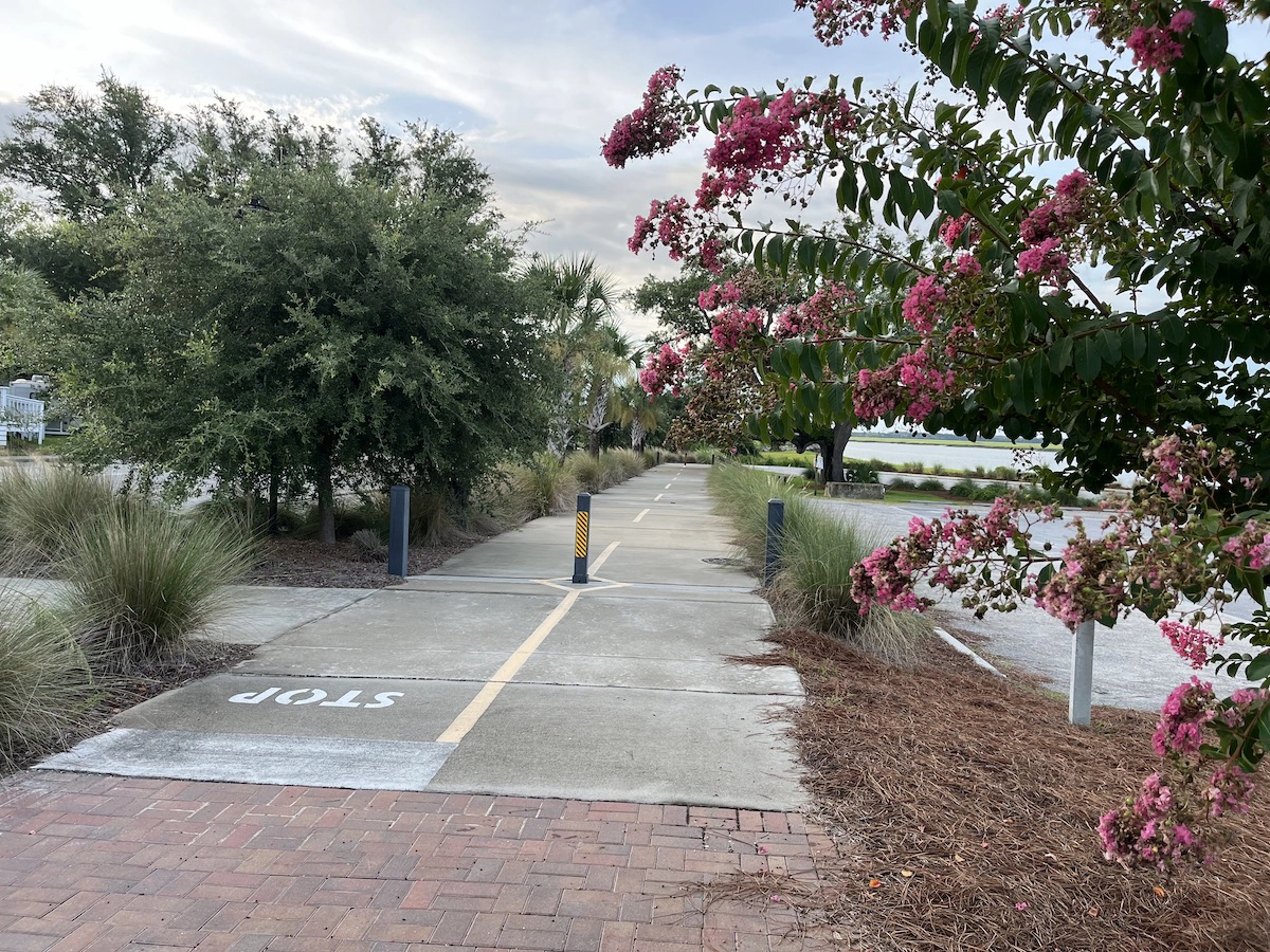
Moss believes that The Trail will then transit a narrow, unimproved stretch of land (currently featuring several picnic tables) that would presumably contain a vehicular access road, the 24-foot wide bike trail, and, perhaps, a waterfront walking promenade that is described as extending through the “Marina Village” and the “Port Village” in the PUD document dated November 9, 2011.
Moss says the bike trail will eventually veer to the East (after passing through the Fish Camp parking lot and the narrow choke-point below the parking lot) and then follow 8th Street in an easterly direction until it intersects with the park sometimes called the London Avenue Park.
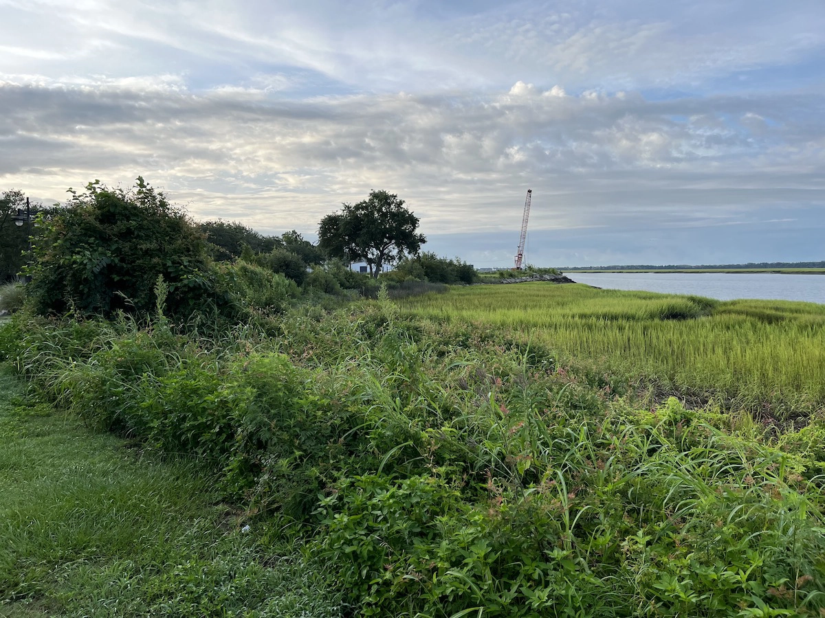
If this is the bike trail’s eventual route, it would not pass around (or near) the site of the massive transit shed built by the Ports Authority (Pier 21) in 1958 — a structure has since been demolished by Safe Harbor.
It is further noted that the Town has put markings on 7th Street and on the Sands Beach Road indicating that this is how current bike riders should access the Sands Beach.
The waterfront walkway
The “deeded waterfront public walkway” described in sections 5.3.3 and 5.3.4 of the PUD was briefly referenced in a letter from Willis to Safe Harbor’s Carla Ferguson dated March 20, 2024.
In that letter, Willis wrote, “This is further noted that Sections 5.3.3 and 5.3.4 of the PUD (as amended pursuant to the July 14, 2021, amendment thereto) set forth certain open space requirements, including a deeded walkway/promenade that extends through the MV and PV Planning Districts to connect the Town’s Sands Beach Area Access Boardwalk.”
The “Marina Village” and “Port Village” segments (on the previous Grey Ghost illustrations) do not actually show where the “waterfront walking promenade” will be located, but one assumes that the PUD, as amended, still mandates a “waterside walkway/promenade” giving the public access to Battery Creek as was called for in 2005.
It has also been revealed that Safe Harbor is still awaiting its permit for the Marina, that permit coming from the State of South Carolina. Notwithstanding the lack of progress, there is a feeling of optimism (at Town Hall) that something tangible will happen in the near future.
However, when contacted by The Island News, officials with Safe Harbor declined to comment on details of the impending sale, the name of the “developer” of the Bluff Neighborhood and Ribaut Village properties, or the path of the pedestrian promenade below Fish Camp.
Scott Graber is a lawyer, novelist, veteran columnist and longtime resident of Port Royal. He can be reached at cscottgraber@gmail.com.